CONTEXT

Site Location


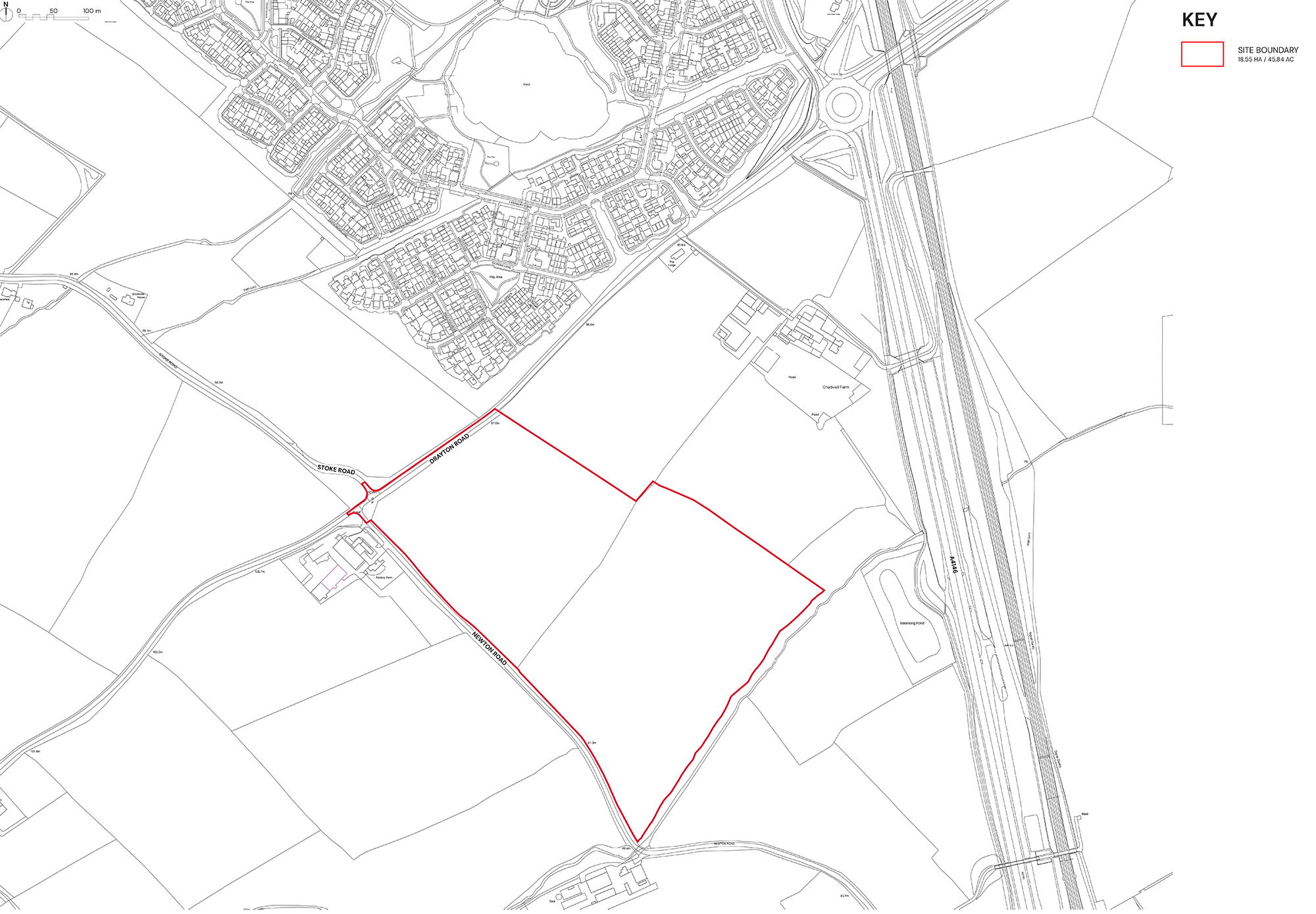
The site is located to the south of Newton Leys, a district that covers the southern tip of Bletchley and straddles the boundary between the city of Milton Keynes and the rest of Buckinghamshire. 

The site consists of two parcels of arable agricultural land surrounded by mature hedgerows.

The site slopes consistently in a southerly direction from levels around 97.0mAOD in the northwest corner to levels just below 77.0mAOD in the southwest corner.

Planning Context


The site, which extends to approximately 18.55 hectares, is located within the Aylesbury Vale Area of Buckinghamshire Council and is therefore covered by the adopted Vale of Aylesbury Local Plan (VALP). The VALP requires the delivery of 28,600 dwellings across the period 2013-2033 and to meet this need, it outlines a hierarchy of settlements appropriate to deliver housing in the right locations to enable sustainable development to take place. The site is located on the edge of Milton Keynes (Bletchley) which is acknowledged in the VALP as a sustainable location for growth.

Buckinghamshire Council is not currently able to demonstrate sufficient housing sites are available to meet its immediate land supply requirements. Additional sites are therefore needed to help the Council reach its housing targets.

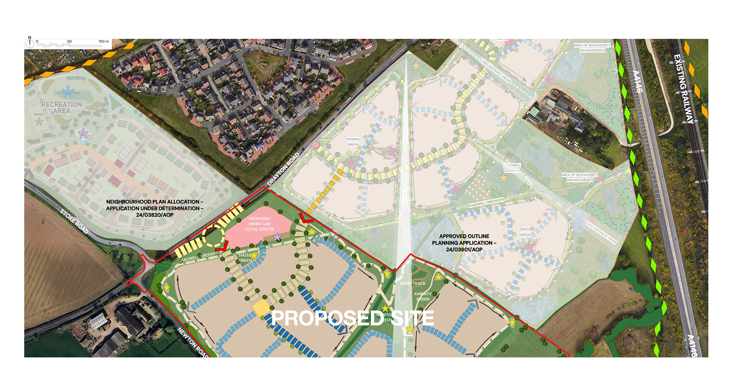
Whilst this site sits outside of the current settlement boundary, it is located directly adjacent to it and also sits alongside a recently approved residential development to the north east. In addition, located across Drayton Road to the north west, is a site allocated for residential development in the Stoke Hammond Neighbourhood Plan. The site therefore relates well to existing and committed development within the area.

The surrounding area contains a number of services and facilities including primary schools and a GP Surgery. As such, the site represents a logical and sustainable location for residential development.
Adjacent Development


Land north east of the site benefits from outline planning permission obtained on appeal in February 2026 for the erection of 290 dwellings. That development will deliver 35% of homes as affordable housing and a further 5% as Self-Build and Custom Build Units. It will also provide public open space including a number of children’s play areas and a multi-use games area (MUGA). The development has been designed to accommodate a bus service and a financial contribution has been secured as part of the development, paid by the developer to the Council, to enable the re-routing of a local bus service through the development, if required.

Land to the north of Drayton Road has been allocated for residential development in the recently-made Stoke Hammond Neighbourhood Plan. The site is currently the subject of an outline planning application being determined under application reference 24/03820/AOP. The proposed development involves the development of up to 90 dwellings on a site that extends to 6.6 hectares.

YOUR VIEWS